
Aerial Support for Infrastructure Inspections

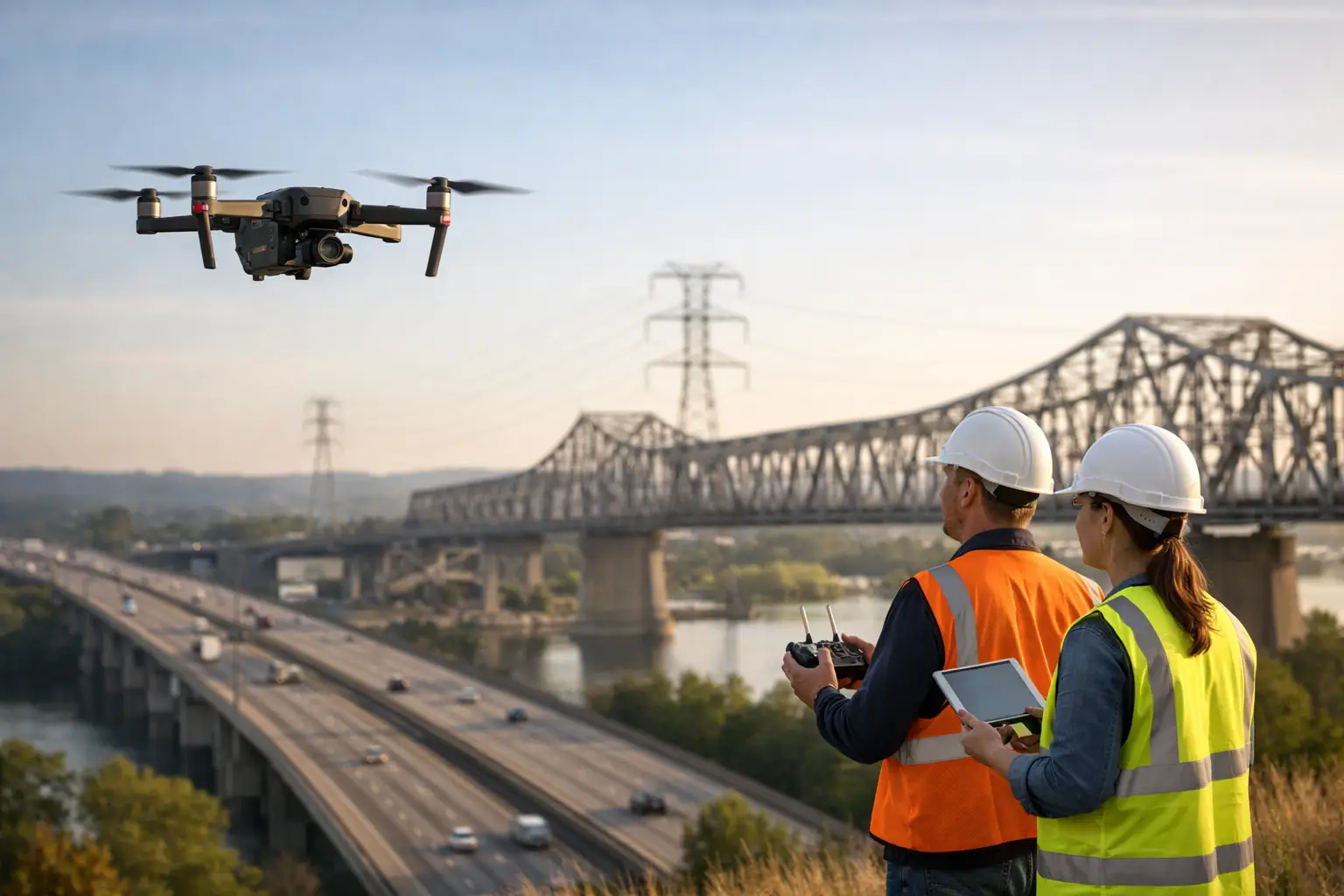
A washed-out access road, a transmission corridor crossing dense forest, or a cellular tower on a steep ridge can turn a routine inspection into a significant logistical exercise. Aerial support for infrastructure inspections gives project teams a practical way to reach difficult assets, assess conditions from the air, and move qualified personnel without committing days to ground travel.
For operators responsible for critical infrastructure in Costa Rica, aviation is not simply a faster way to travel. It can reduce exposure to terrain hazards, improve visibility over wide corridors, and help leaders make informed decisions when timing matters. The right aircraft, crew, mission plan, and weather assessment determine whether a flight is genuinely useful or merely expensive transportation.
Why aerial support changes the inspection timeline
Infrastructure inspections are often delayed by the same conditions that make assets difficult to maintain: mountainous terrain, river crossings, heavy seasonal rain, limited roads, and long distances between facilities. A helicopter can provide direct access to areas that may require hours of driving and hiking. A fixed-wing aircraft can cover extensive linear assets or remote regions efficiently when landing at the inspection point is not required.
This changes how teams plan work. Rather than allocating most of a field day to transit, engineers, surveyors, maintenance managers, and technical specialists can focus their time on the asset itself. Aerial access also makes it easier to inspect multiple locations in one operating window, provided route planning, payload requirements, and local operating conditions support the mission.
The value is especially clear after severe weather. When roads are blocked or conditions are still evolving, an aerial assessment can help establish priorities before crews and equipment are deployed on the ground. It is not a replacement for a hands-on engineering review, but it can provide the situational awareness needed to send the right people to the right location first.
Aerial support for infrastructure inspections in Costa Rica
Costa Rica’s geography creates both opportunity and complexity for infrastructure operators. Hydroelectric facilities, pipelines, communications networks, renewable-energy sites, roads, bridges, coastal installations, and agricultural operations may be separated by difficult terrain and changing microclimates. A mission that begins in clear conditions near San José can encounter low cloud, wind, or rain near a mountain site later in the day.
That is why local aviation experience matters. Flight planning must account for weather patterns, terrain, airspace requirements, landing options, weight and balance, and the operational needs of the inspection team. A premium aerial operator should begin with the mission objective, not with a generic flight itinerary.
At Aerotour, specialized aerial operations are supported by a long operating history in Costa Rica, DGAC certification, and adherence to ICAO standards. With operational bases in San José and Liberia, the company can help organizations coordinate access across major business, industrial, and tourism corridors while maintaining the discretion and service discipline expected of private aviation.
Selecting the right aircraft for the assignment
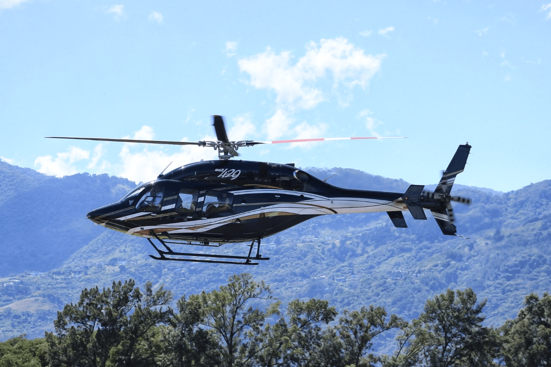
Helicopters are often the preferred option when the team needs close observation, access to a remote landing area, or the flexibility to work around terrain that makes ground transport impractical. They can be particularly valuable for inspecting towers, transmission lines, slopes, bridge approaches, rooftop equipment, and remote facilities where landing nearby is feasible and authorized.
Fixed-wing aircraft may be a better fit for broad-area reconnaissance, long-distance corridor observation, or travel between regional airports. They offer efficient coverage over larger distances, though they do not provide the same low-speed, close-proximity access as a helicopter. The best choice depends on the inspection method, the number of passengers, required equipment, fuel range, available landing sites, and the urgency of the assignment.
In some cases, the strongest plan uses both. A fixed-wing flight may position a team near a remote region, while a helicopter supports local access and close visual review. This approach can be effective for organizations managing assets across the country, but it requires careful coordination to avoid unnecessary transfers or idle time.
What a well-planned aerial inspection mission includes
The aircraft is only one part of the operation. Productive aerial support begins with a clear brief that defines what must be observed, photographed, measured, or accessed. A pilot can fly a safer and more effective profile when the mission team provides precise asset locations, desired viewpoints, known hazards, passenger weights, equipment details, and realistic time requirements.
For technical assignments, the planning conversation should address four practical areas:
- The inspection objective, including whether the team needs visual observation, aerial photography, filming, personnel access, or a combination of services.
- Site conditions, such as elevation, terrain, nearby obstacles, landing surfaces, restricted areas, and expected weather.
- Payload and cabin needs, including technical personnel, safety equipment, cameras, sensors, protective gear, and any approved cargo.
- Operating constraints, including daylight, fuel planning, permits, site access permissions, and contingency options if weather prevents completion.
This preparation protects both schedule and safety. It also avoids a common mistake: assuming that a helicopter can land anywhere or hover indefinitely at any elevation. Performance margins vary with altitude, temperature, load, wind, and available space. A responsible operator will assess these factors before confirming a mission profile.
Coordinating aviation with the inspection team
Aerial work is most effective when the aviation crew and technical team share a common operating plan. The inspection lead should identify which assets are essential, which are secondary, and what visual information is needed for a decision. If imaging is required, the team should agree in advance on the camera position, expected angle, lighting considerations, and how imagery will be transferred and organized after the flight.
Clear communications are equally important. Noise levels, vibration, aircraft movement, and time limitations can make in-flight discussion difficult. Briefing passengers on communication procedures and seat assignments before departure allows the crew to maintain focus while the inspection team captures the required observations.
For aerial filming or photography, the mission may require additional planning around door configurations, equipment restraints, camera stability, and the experience of the production crew. These flights should never be treated as standard sightseeing operations. They are specialized assignments with operational, safety, and quality considerations that must be aligned before takeoff.
Safety is part of the service, not a separate add-on
The speed of aerial access should never create pressure to operate outside appropriate limits. Weather, visibility, wind, cloud cover, daylight, airspace restrictions, and site conditions can require a route adjustment, a delayed departure, or a different inspection method. Those decisions may be inconvenient, but they are the mark of disciplined aviation operations.
Organizations should expect an operator to ask detailed questions, establish passenger and equipment requirements, and explain operational constraints in clear language. The same standard applies to remote landing sites. Before an aircraft is dispatched, the landing area must be evaluated for obstacles, surface conditions, dimensions, approach paths, and local authorization.
This is particularly relevant for urgent assessments after storms or other disruptions. The need for information may be immediate, yet conditions may be less predictable than usual. An experienced crew can help distinguish between an urgent request and a safely executable flight, then recommend the most practical next step.
When aerial support is the right investment
Aerial operations are most valuable when access, time, safety exposure, or geographic coverage creates a meaningful business challenge. They are well suited to inspecting remote assets, supporting emergency assessments, transporting specialists to difficult sites, documenting infrastructure for stakeholders, and coordinating work across multiple locations in a compressed schedule.
They may be less appropriate when the inspection requires detailed physical testing that can only be completed from a stable ground position, when weather prevents safe operation, or when a simple road-based visit is more economical. A good aviation partner will help assess that distinction honestly. The objective is not to fly for the sake of flying, but to make the inspection more efficient, safer, and better informed.
Before scheduling the next field deployment, define the decisions the inspection must support and the access barriers that could slow them down. With a precise mission brief and an experienced crew, aerial access can turn a difficult site visit into a controlled, productive operation.