
Aerial Inspections for Costa Rica Projects

A cracked transmission tower crossarm, a blocked drainage channel, or storm damage on a remote roof can become a costly problem long before it is visible from the ground. Aerial inspections give asset owners, engineers, insurers, and project teams a safer way to see what is happening from the right altitude and angle – without sending personnel into unnecessary exposure.
For organizations operating across Costa Rica’s varied terrain, the value is not simply the view. It is the ability to reach remote locations efficiently, collect purposeful visual information, and make decisions with a clearer understanding of site conditions. When planned and flown correctly, an aerial mission can reduce disruption, improve documentation, and help teams prioritize the work that matters most.
What Aerial Inspections Can Reveal
Aerial inspection is the use of an aircraft and specialized imaging equipment to assess assets, land, structures, or conditions from the air. The approach is especially effective where access is difficult, hazardous, time-sensitive, or likely to interrupt normal operations.
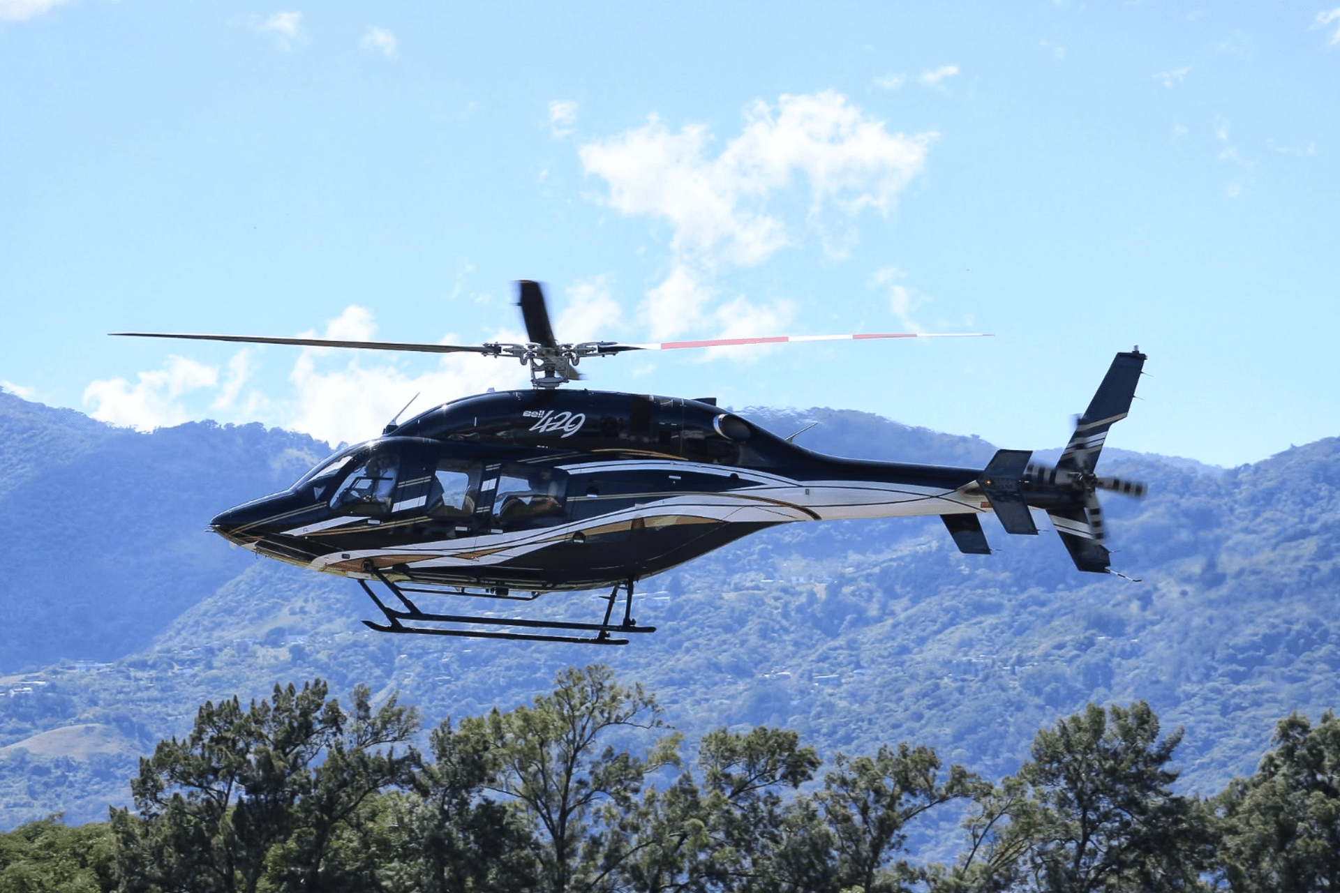
A helicopter can hold a controlled position near a structure, follow a linear corridor, or access a site where roads are limited. Fixed-wing aircraft can be the more practical choice for covering broad areas, long routes, or large-scale observations. The right platform depends on the asset, terrain, weather, required image detail, and the operational restrictions surrounding the site.
For a commercial property, the mission may focus on roof membranes, drainage, facades, HVAC equipment, and solar installations. For an industrial operation, the priority may be elevated structures, pipelines, access roads, stockpiles, perimeter conditions, or signs of erosion. Utilities and infrastructure teams may require views of transmission lines, towers, bridges, reservoirs, or road corridors.
Aerial imagery does not replace every hands-on evaluation. An engineer may still need to confirm material condition, measure a defect, or inspect an enclosed component on site. What it can do is direct that ground effort more intelligently. Rather than sending a team to investigate every possible concern, decision-makers can identify where closer examination or immediate maintenance is warranted.
Why Aircraft-Based Inspections Matter in Costa Rica
Costa Rica’s geography makes conventional site access variable. Mountain terrain, dense vegetation, seasonal rainfall, coastal exposure, and long distances between regional locations can add time and risk to ground-based inspections. A site that appears close on a map may involve hours of driving, difficult road conditions, or limited access to the precise point that needs evaluation.
Aircraft-based inspections can shorten the time between a reported issue and an informed response. This matters after heavy weather, when a property owner needs a rapid condition overview, or when an infrastructure team must assess several dispersed locations before dispatching maintenance crews.
There is also a safety benefit. Climbing towers, walking unstable roofs, traversing steep slopes, or approaching sensitive operational areas all require deliberate risk controls. Aerial observation can reduce the need for initial exposure while giving technical teams a broader perspective of the work ahead. It is not a substitute for safety procedures. It is one more tool for planning them well.
For executive teams, insurers, lenders, and project stakeholders, aerial documentation also creates a useful record. Images and video captured at defined stages can support progress reviews, incident reporting, maintenance planning, and discussions with contractors. The strongest value comes when the mission has a defined question to answer, rather than treating the flight as a general sightseeing pass over a site.
Aerial Inspections Start With the Right Flight Plan
The quality of an inspection is determined well before takeoff. A productive mission begins with a conversation about the asset, the concern, the information required, and how the final material will be used.
A roof survey intended to support insurance documentation requires different angles and image resolution than a construction progress flight. A power-line corridor requires a different route, altitude profile, and safety assessment than a coastal resort property. If the goal is to identify specific damage, the flight crew and imaging team need to know what signs to look for before arriving at the location.
A thorough planning process considers four operational areas:
- Mission objective: Define the exact assets, defects, milestones, or conditions to be documented.
- Aircraft selection: Match the platform to terrain, coverage area, access needs, and required maneuverability.
- Imaging requirements: Confirm whether the assignment needs high-resolution stills, stabilized video, thermal imagery, mapping data, or a combination.
- Site coordination: Address airspace, weather, ground contacts, operational hazards, and any location-specific permissions.
This preparation helps avoid a common failure point: capturing attractive footage that does not answer the client’s operational question. Premium aerial support should produce material that is useful to the people responsible for action, not merely impressive on screen.
Choosing Between Helicopter, Airplane, and Drone Support
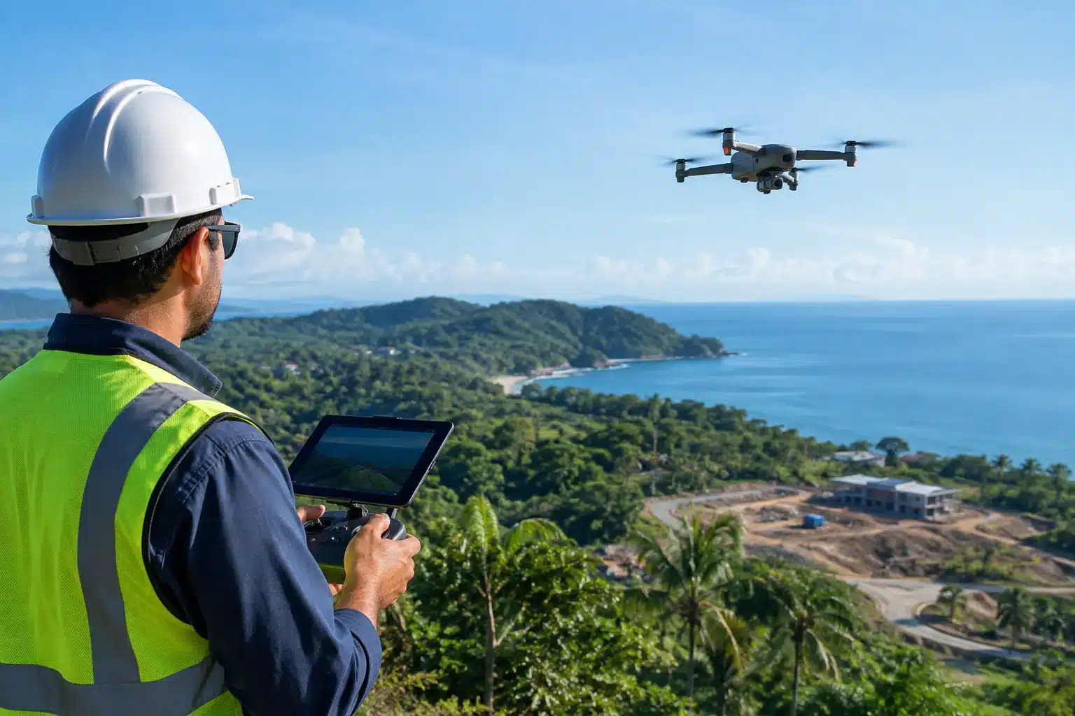
Drones have made close-range visual checks more accessible, and they are often a valuable part of an inspection program. For compact sites with clear operating space and favorable conditions, they can provide detailed imagery at lower cost. However, their range, endurance, weather tolerance, and ability to reach distant or complex terrain may be limited.
A helicopter is often the preferred platform when close maneuvering, rapid access, and flexible positioning are essential. It can be especially effective for linear assets, mountainous locations, active construction areas, and sites that require a more responsive field presence. Helicopter operations demand experienced crews, careful site assessment, and disciplined adherence to aviation procedures.
Fixed-wing aircraft are well suited to larger coverage areas. They can efficiently support broad corridor reviews, regional surveys, and missions where the goal is to observe a wide footprint rather than remain near a single vertical structure. Their operating profile is different from a helicopter’s, so they may not be the best option for every close-detail assignment.
The best choice is not always the least expensive aircraft or the newest camera. It is the combination that safely delivers the required information with the least operational friction. In some cases, a layered approach is appropriate: aircraft for rapid regional assessment, followed by targeted drone or ground inspections where more detail is needed.
What to Expect From a Professional Aerial Operation
Specialized aerial work requires more than an aircraft with a camera. The operation must account for weather, visibility, terrain, weight and balance, fuel planning, local airspace, photography positioning, and coordination with personnel on the ground. When filming or imaging near facilities, crews must also respect privacy, security requirements, and operational boundaries.
A professional provider should be able to discuss the mission in practical terms: what can be captured, what conditions could affect the result, what type of aircraft is appropriate, and what contingency planning is in place. Clear expectations are especially important for time-sensitive assignments. Weather can change quickly in Costa Rica, and safe aviation decisions must take priority over a desired schedule.
Experience matters because specialized flights involve judgment. A pilot must balance the desired viewing angle with terrain, wind, obstacles, aircraft performance, and safe operating margins. The imaging team must understand how lighting, vibration, distance, and movement affect usable results. Technical capability and aviation discipline need to work together.
Aerotour brings decades of operating experience in Costa Rica to mission-specific aerial support, with DGAC certification and operations aligned with ICAO standards. For clients, that foundation provides more than access to an aircraft. It provides an experienced aviation partner that can help translate a site requirement into a carefully planned flight operation.
Turning Images Into Actionable Decisions
The flight is only one stage of the inspection process. Before the mission, clients should decide who will review the material, how findings will be organized, and what will trigger a follow-up response. Clear file naming, location references, timestamps, and a defined capture sequence make post-flight review more efficient.
For recurring inspections, consistency is particularly valuable. Flying comparable routes and documenting the same viewpoints over time can show changes in roof condition, vegetation growth, construction progress, shoreline movement, or asset wear. The objective is not to create more imagery. It is to create a useful visual record that supports maintenance and capital planning.
When the next concern appears beyond the reach of a truck or a ladder, a well-planned aerial mission can provide the perspective needed to respond with confidence, protect personnel, and direct resources where they will have the greatest effect.