
How to Book Aerial Survey Flights Safely

Aerial survey work is rarely a matter of simply reserving an aircraft for a few hours. A shoreline mapping assignment, construction progress survey, environmental study, or commercial film capture each demands a different flight profile, platform, crew, and approval process. Knowing how to book aerial survey flights starts with defining the data or imagery you need, then building an operation around that requirement without compromising safety, schedule, or access.
For organizations operating in Costa Rica, the strongest results come from engaging an experienced aerial operator early. The more clearly the mission is planned before the aircraft departs, the more useful the final imagery, measurements, or footage will be.
How to Book Aerial Survey Flights for Your Mission
Begin with the result, not the aircraft. An operator needs to know whether you require high-resolution still photography, stabilized video, LiDAR, thermal imagery, orthomosaic mapping, inspection imagery, or general visual documentation. Each objective affects altitude, airspeed, flight path, sensor mounting, window requirements, and the number of passes needed over the site.
A construction team may need repeatable images of a project every month from matching angles and elevations. A production crew may need low-altitude tracking shots at sunrise, with precise timing and camera stabilization. A land management team may need overlapping imagery that can be processed into a map. These are all aerial survey flights, but they should not be booked or priced as the same mission.
Share the project location as early as possible. Coordinates, a marked map, property boundaries, nearby landmarks, and the desired coverage area allow the operator to assess routing, fuel planning, airport or heliport access, terrain, controlled airspace, and weather exposure. In Costa Rica, mountain ridges, coastal winds, rain patterns, and changing cloud bases can materially affect the best time to fly.
It also helps to identify the date flexibility around your assignment. When imagery must be captured under clear skies, consistent light, or a specific tide condition, a weather contingency may be more valuable than a fixed departure time. For time-sensitive projects, ask whether the flight can be held within an operating window and how rescheduling decisions will be managed.
Choose the Right Aircraft and Flight Platform
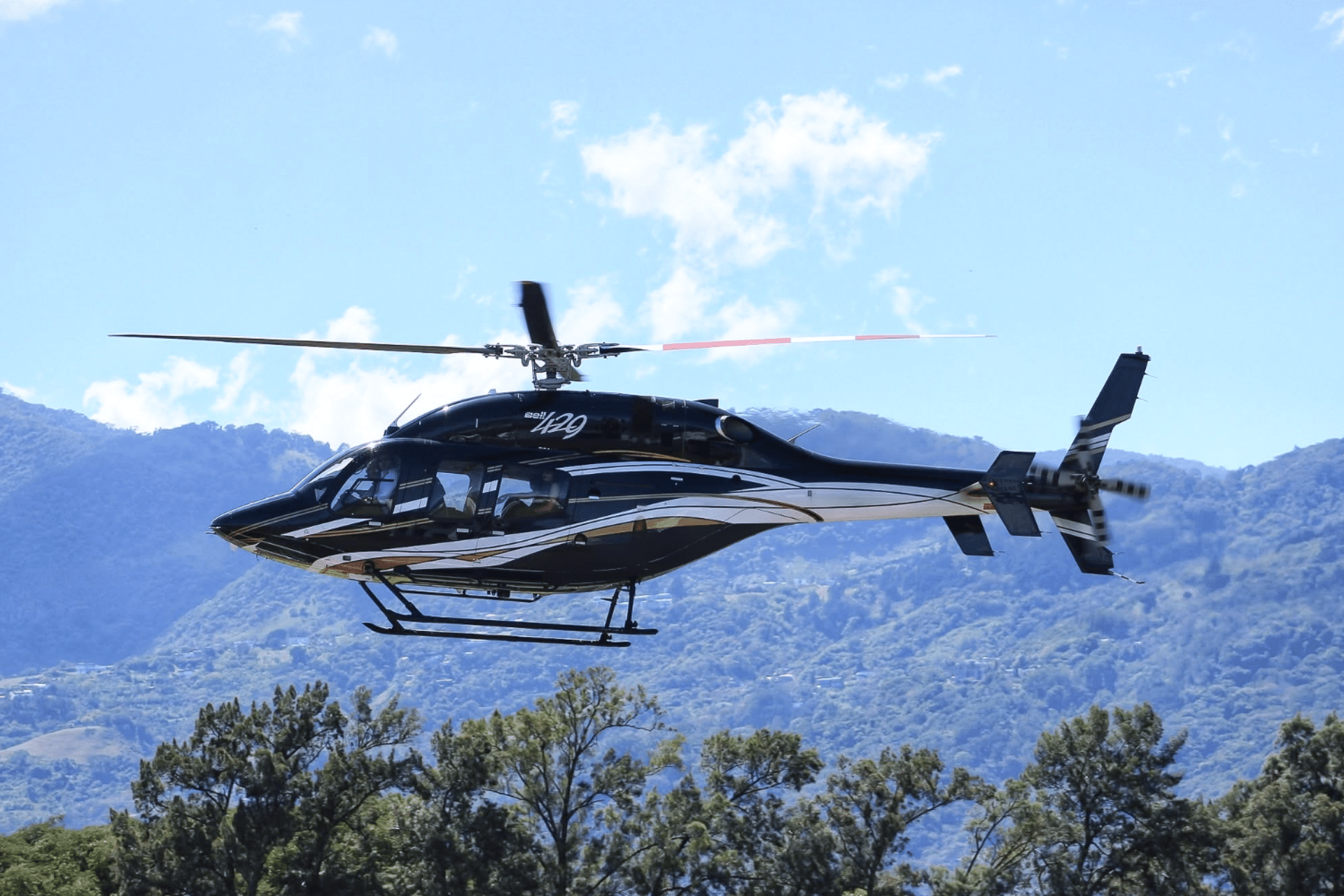
The aircraft should support the mission rather than dictate it. Helicopters are often the preferred platform when a project requires slow flight, close access, orbiting a subject, hovering where permitted and safe, or operating near remote sites. They are especially useful for filming, infrastructure inspection, resort access, and surveys in terrain where ground logistics are difficult.
Fixed-wing aircraft can be more efficient for broad-area coverage, longer distances, and structured mapping routes. They may offer better endurance and a practical cost advantage for large land areas, depending on the sensor payload and required flight altitude. The trade-off is that fixed-wing operations need forward motion and generally have less flexibility for close-in maneuvering or confined-area access.
Ask the operator how the selected aircraft accommodates your equipment. A camera shooting through a standard window may be suitable for some documentation, but it may not deliver the clarity needed for precision work. Open-door configurations, approved camera mounts, gyro-stabilized systems, and specialized sensor installations each involve different operational considerations. The right solution balances image quality with aircraft limitations, passenger safety, and regulatory requirements.
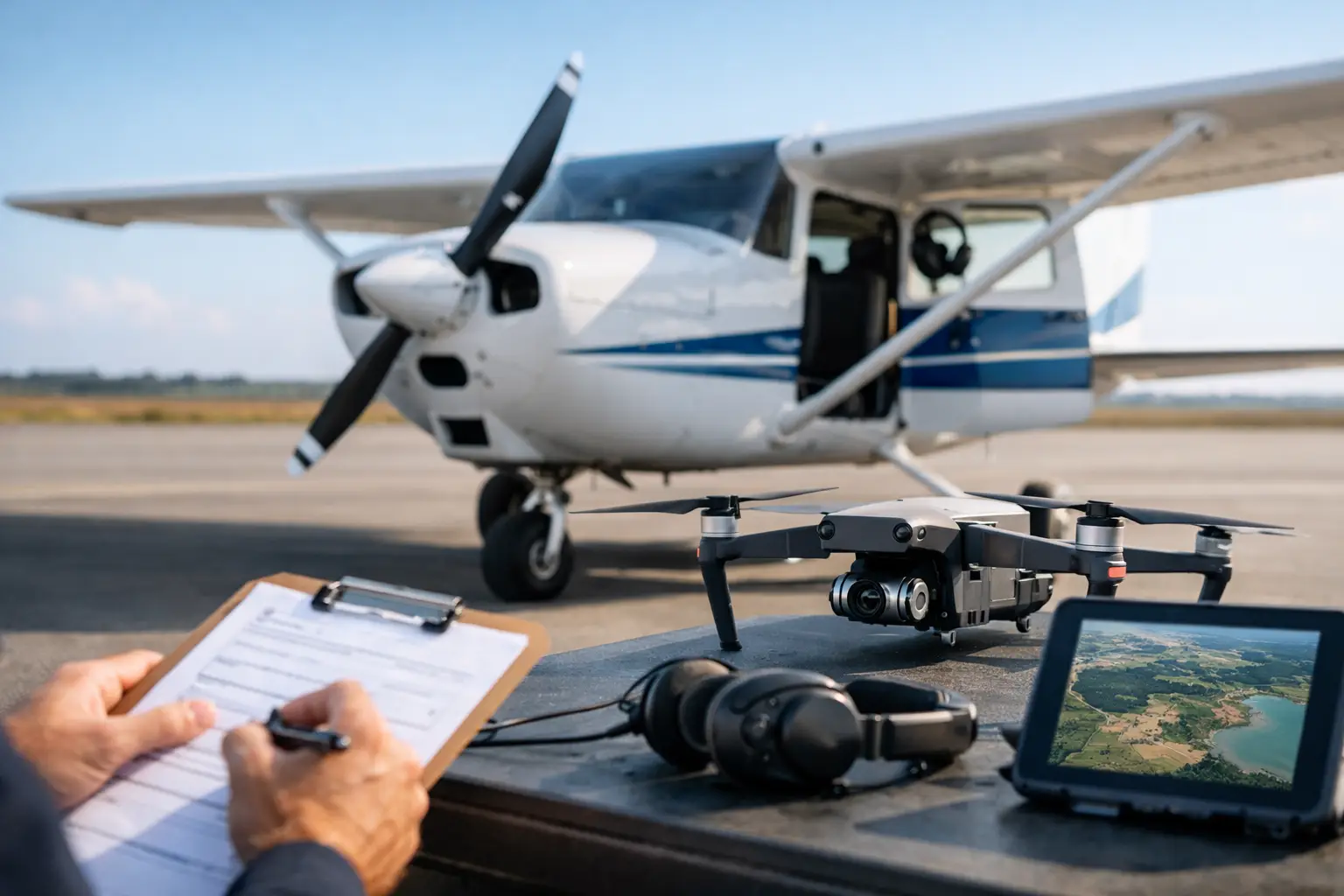
If your crew is bringing cameras, sensors, or measurement equipment, provide the make, model, dimensions, weight, power needs, and mounting requirements before confirming the flight. Equipment that is not properly assessed in advance may not be permitted onboard, particularly if it changes the aircraft’s weight and balance, affects emergency exits, or requires an external mount.
Build a Clear Flight Brief
A proper aerial survey brief turns a broad request into an executable operation. The brief should define the project objective, target area, expected flight duration, preferred date and time, number of people traveling, equipment list, and final deliverables. It should also identify the on-site project contact who can confirm access conditions and make timely decisions if weather or airspace conditions change.
For visual surveys, specify the framing and shot list. Include examples when available, but explain what each image needs to show. “Photograph the property” is open to interpretation. “Capture each road entrance, the northern boundary, drainage channels, and a full overhead pass of the construction zone” gives the flight crew and photographer a usable plan.
For mapping and inspection work, precision requirements matter. Confirm whether you need a general visual record or data that must meet a defined ground sample distance, overlap percentage, accuracy standard, or repeatable route. Aerial operators can coordinate with surveyors, geospatial specialists, and production teams, but those technical expectations should be agreed upon before departure.
Plan the timing around light as well as weather. Midday sun may reduce shadowing for certain mapping tasks, while early morning and late afternoon can provide more dimensional imagery for architectural or promotional work. For filming, consider sun direction, reflections on water or glass, and the practical time available before changing weather affects continuity.
Confirm Permits, Access, and Operational Approvals
Aerial operations in Costa Rica must be conducted within applicable aviation rules and airspace requirements. Depending on the location and nature of the work, an operator may need to coordinate flight approvals, site access, landing permissions, or restrictions associated with protected areas, populated locations, critical infrastructure, and controlled airspace.
Do not assume that a property owner’s approval is enough to authorize an aerial operation. Permission to access land and authorization to conduct a flight are separate matters. An experienced operator will evaluate the location, intended profile, and any operational constraints before confirming the mission.
This is particularly relevant for productions and commercial campaigns. If your project involves talent, vehicles, boats, external filming equipment, or activity that must be timed from the ground, allow enough lead time for coordination. Aerial work often depends on several moving parts, and a flight that is technically possible may still need adjustments to meet safety margins or local restrictions.
Ask who is responsible for arranging ground access, local permits, production insurance, and any permissions connected to your final use of the imagery. Clear responsibility prevents costly assumptions and keeps the flight day focused on execution.
Review Safety, Crew Experience, and Contingencies
Price matters, but aerial survey work should not be selected on price alone. The quality of the operational planning, the operator’s certification, aircraft maintenance standards, crew experience, and safety culture are central to the success of the mission.
Look for an operator with a history of specialized aerial work and the ability to explain how the crew will manage your particular assignment. In Costa Rica, Aerotour brings experience dating to 1973, DGAC certification, and operations aligned with ICAO standards to private and mission-specific aviation services. That kind of operational foundation is especially valuable when a project requires more than point-to-point transportation.
Before the flight, confirm the passenger and equipment limits, baggage arrangements, meeting point, check-in time, clothing guidance, and communications plan. If doors will be removed or an approved open-door configuration will be used, the crew should provide a clear safety briefing covering harnesses, loose items, camera handling, and movement inside the aircraft.
A professional operator should also address the contingency plan. Weather, visibility, wind, air traffic, equipment issues, or site conditions can require a delay, route change, or cancellation. Ask how the operator makes the go or no-go decision and who has authority to modify the mission. The answer should be direct: operational safety decisions belong to the qualified flight crew and operator, not to production pressure or a fixed shot list.
Make the Flight Day Productive
Arrive prepared, but keep the aircraft cabin organized. Charge batteries in advance, label media, secure accessories, and bring only the equipment approved for the flight. A rushed cabin setup can consume valuable airborne time, especially on missions where lighting or weather creates a narrow capture window.
Use a short preflight conversation to confirm priorities. If conditions change, the crew should know which images, passes, or data points are essential and which are optional. This allows the mission to protect the highest-value deliverables first.
After landing, verify that the required material was captured before the team disperses. For critical assignments, review a representative set of images or footage with the project lead and note any follow-up passes while the aircraft, crew, and location details are still available.
The best aerial survey flight feels controlled long before it becomes airborne. Bring the operator a clear objective, realistic timing, and accurate site information, then give the flight crew the room to apply their expertise. That preparation is what turns valuable flight time into imagery and data your team can use with confidence.